New app to record Himalayan tahr returns
2 min read
Survey123 for ArcGIS has been developed by GAC and DOC
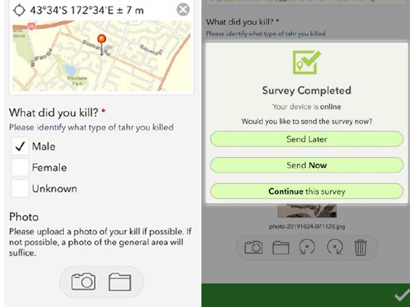
Recreational hunters targeting Himalayan tahr can now record and submit their hunting contributions using a new mobile phone app designed by the Game Animal Council (GAC) and the Department of Conservation (DOC).
Developed through the Survey123 for ArcGIS data gathering service, the app makes it easier for hunters to record their Himalayan tahr returns and submit valuable information to help inform the future management of the tahr herd.
“One of the biggest issues when it comes to the management of tahr is an accurate understanding of how many animals are being taken by recreational hunters and where,” said Game Animal Council chair Don Hammond.
“This app presents an opportunity for the tahr hunting community to prove the value of recreational hunting and make a positive contribution to animal management.”
Although, he added that the app’s success relies on how many recreational hunters install it on the mobile phones and use it.
“The greater the uptake of the app, the more accurate the data, the better the outcomes will be for recreational hunters in future tahr management programmes,” said Hammond.
All information keyed in by a hunter will remain anonymous, including hunting locations – which will be combined into tahr Management Units – and any personal information.
DOC recently also mapped the locations of thousands of bull tahr on public conservation land that hunters can use when planning their next hunt.
“These maps are an excellent tool for hunters as they highlight where bull tahr were sighted between July and November when the data was collected,” said Hammond.
Do you love Facebook as much as we do? Follow us! And stay up to date with the latest news and happenings in fishing and hunting in New Zealand.


